Mapping freely available global data in Western Africa

You liked this page, share it !


email Facebook Twitter Linkedin

delicious submit to reddit submit to reddit


What are those maps?

I simply share here the maps representing the data I used for academic research studies. The underlying data is available freely and the code for generating similar maps is also available upon request from the author


Log of average annual population estimates from WorldPop (1km resolution) data.
Average monthly cumulative rainfall estimation from remote sensing data (cloud coverage), validated with raingauge data, source: CHIRPS, university of Santa Barbara.
Trend in annual cumulative rainfall estimation, source: CHIRPS, university of Santa Barbara.
Coefficient of variation of cumulative rainfall estimation, source: CHIRPS, university of Santa Barbara.
Log of intensity of NightTime Lights in the neighbouring pixels, 2000-2015, 5km sided pixels, NASA (original resolution, 1km, annual estimates).
Area concerned with cropping during the 2000-2015 period (ESA land cover, remote sensing data analysed, 300m resolution)
Area concerned with cropping in 2000 (Ramankutty estimates from country and undernational FAO estimates).
Rainfall zones (CHIRPS 2000-2015), main land cover (yellow: crop area, light green: shrubland; 5km side pixels, from ESA land cover, 300m resolution) and cropping area estimate (from ESA land cover, 300m resolution).
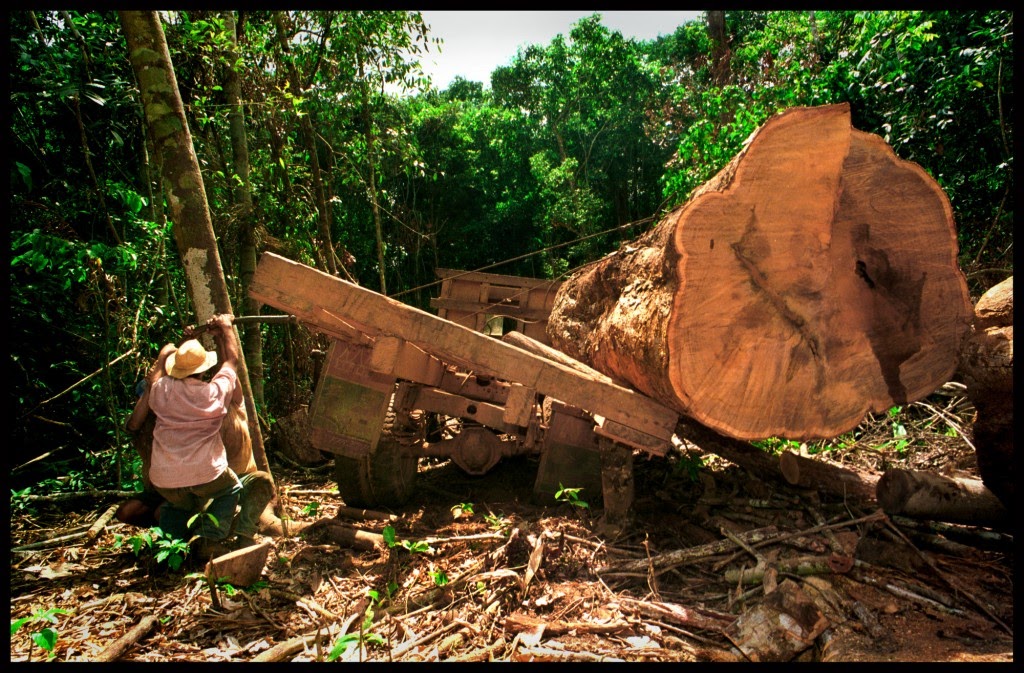
Forest cover (share of 5km side pixels) in 2000, Hansen et al, 2013.
Forest cover (share of 5km side pixels) in 2000, deforestation (share of forest cover) and log deforestation (log ha), Hansnen.
                                     
Data source: ... coming soon


to be developed


Some (sat. observations, meteo, economics and biophysical) Data, and sometimes codes to treat raw files


- Meteo: two global equivalent gridded (and thus interpolated) datasets, resolution: half decimal degree
CRU TS2.1
University of delaware precipitation data (include estimated standard errors, providing a reliable confidence interval)

- Global protected areas (protected planet): data
and three papers looking at their effective role on forest protection:
Joppa and Pfaff, 2015
Blankspoor, Dasgupta and Wheeler, 2014
Maher and Song

- Forest (GFC february 2014, Potapov et al.) and Matlab codes (coming soon)
Data
and nice maps to visualize it through time:
Univ. of Maryland
Global forest watch (WRI)

Raw satelite imagery

- Ndvi reflectance data at a 8km resolution at the equator.

- EU JRC fAPAR data

- Night lights data, used for estimating energy infrastructures or as a proxy for economics development and a related guide for arcGIS.